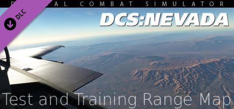
DCS: NEVADA Test and Training Range Map - Detailed Information
 Rating
Based on 72 reviews
| Supported OS | Windows |
|---|---|
| Release Date | 30 August 2017 |
| Developers | Eagle Dynamics SA |
| Publishers | Eagle Dynamics SA |
| Sold copies | ~ 10,000 |
You will be redirected to the official Steam website
About this dlc
Hardware Requirements
Key Features of DCS: NEVADA Test and Training Range Map:
- 366,000 sq. kilometres that covers portions of Nevada, Utah, Arizona and California.
- Highly detailed modelling of Nellis Air Force Base, Creech Air Force Base, McCarran International Airport, and the Area 51 facility.
- Hoover Dam and Lake Meade.
- All VOR and VORTAC radio navigation beacons.
- High resolution mesh and textures around the detailed airbases.
- The entire NTTR airspace as well as indication of all sub-ranges.
- Las Vegas, Pahrump, Mesquite, Moapa, Indian Springs, Boulder City and other cities and towns in and nearby the NTTR. This also includes all major roads, railways, and power lines.
All rights reserved. (c) 2017 Eagle Dynamics SA.